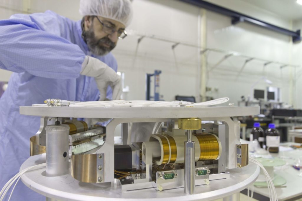
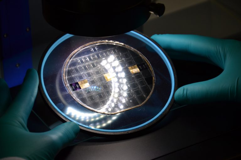
Teamwork makes the dream work
Here’s a glimpse of the amazing team behind all of our major successes. At Innoseis ST, we believe that teamwork is the secret to success.


Here’s a glimpse of the amazing team behind all of our major successes. At Innoseis ST, we believe that teamwork is the secret to success.

Upon celebrating our 10 year milestone, it’s appropriate to acknowledge IXA’s role in the Innoseis journey. IXA has been a key partner, offering invaluable guidance
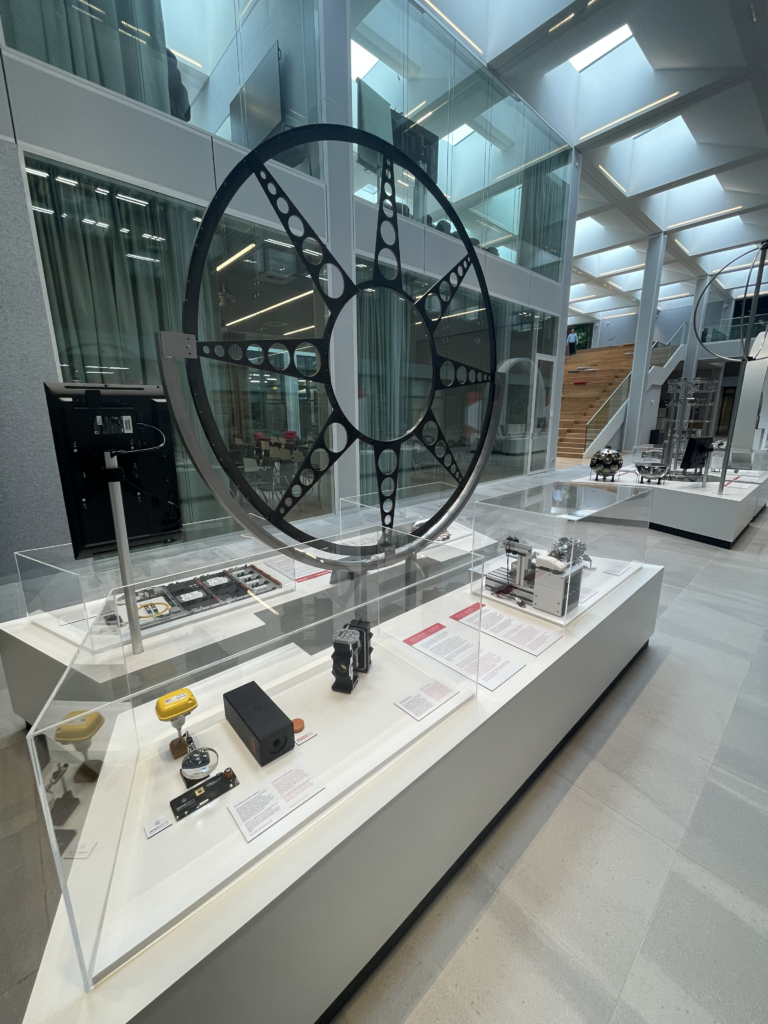
First and foremost we’d like to congratulate NIKHEF on completing their renovation at Amsterdam Science Park. It has been the utmost pleasure to work in